Island
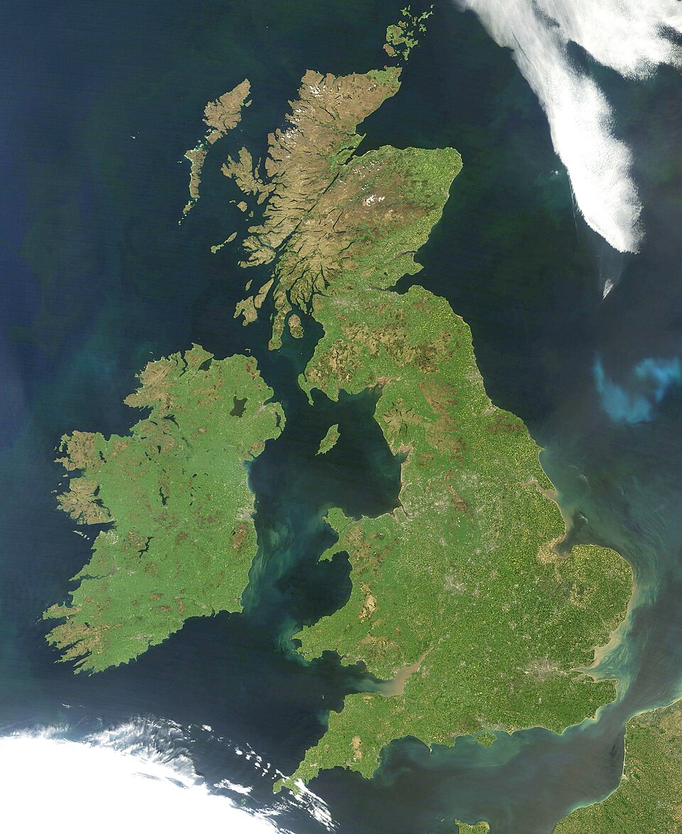

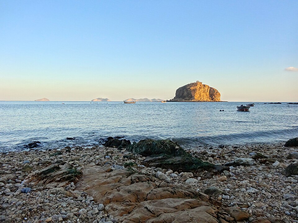
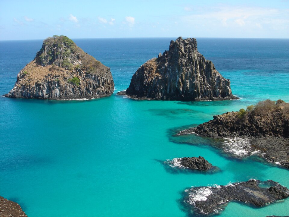
An island is a piece of land that is surrounded by a body of water such as a lake, river, sea or ocean. Islands are smaller than continents. Although there are many Islands that are surrounded by fresh water, the vast majority of them are surrounded by oceans.
Greenland and Australia are huge islands, but they are built of continental rock, and the latter is generally considered a continent. The most ancient part of continental rock is far older and chemically more complex than the rock of the sea floor.
The heart of continents is their cratons, which are the most ancient and stable parts of the Earth’s crust. In the cratons are all the rare elements needed for electronic equipment. They were swept up as the Sun moved through areas where supernovae had exploded. The rare elements we need were all got indirectly from supernovae explosions. The Sun’s energy comes from turning hydrogen into helium.
There are some islands which do have rare elements, and that is a sign that they were once part of a large supercontinent. So Great Britain was once part of a supercontinent. The oldest rocks are 2,700 million years old, and include many rare elements only found in cratons. Britain is a snapped-off piece of the Old Red Sandstone continent, now known as Laurasia.
Other islands that were formed from the ocean floor, as Japan, and Hawaii were, lack most of the rare elements. Japan has for many years since WWII imported iron ore from Australia. Its seizing of Manchukuo (~Manchuria) and the infamous attack on Pearl Harbour no doubt had many reasons. Lack of raw materials was one of these Now it looks for potential in its nearby deep-sea muds.
In Europe
- Great Britain 218,995 km²
- Iceland 101,826 km²
- Ireland 81,638 km²
- The island in the north of Novaja Zemlja 47,079 km²
- Spitsbergen 38,981 km²
- The island in the south of Novaja Zemlja 33,246 km²
- Sicily 25,662 km²
- Sardinia 23,812 km²
- Nordaustlandet (archipelago of Svalbard, Norway) 14,247 km²
- Corsica 8,741 km²
Other places
- Australia 7,662,000 km²
- Cyprus 9,234 km²
- Greenland 2,130,800 km²
- New Guinea 785,753 km²
- Borneo 748,138 km²
- Madagascar 587,041 km²
- Baffin 507,451 km²
- Sumatra 442,658 km²
- Honshu 233,000 km2
- Victoria Island 217,000 km2
- Ellesmere Island 196,000 km2
Where this page comes from
The article above is adapted from “Island” on Simple English Wikipedia, by its contributors. We removed reference markers, navigation boxes and tables, expanded measurement templates into readable numbers, and kept the prose otherwise intact.
Both sources are published under CC BY-SA 4.0, so this page is published under the same licence. You may share and adapt it, including commercially, as long as you credit the original and keep the same licence.
Worksheets, answer keys and printable layouts elsewhere on K5Print are our own work and are not covered by this licence.