Landscape
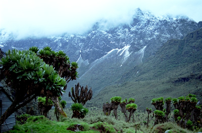

A landscape means an area of land as one can see it. This includes landforms, flora, fauna and human elements, for instance human activity or the built environment.
According to its meaning, lighting and weather conditions are part of landscape as well. Objects inside the building can sometimes be considered part of landscape as well.
Geology
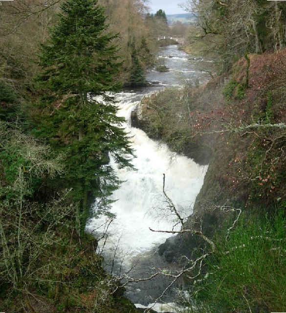
The landscape is determined mainly by the underlying geology. This can be seen clearly in the East African Great Rift Valley. There almost everything in the landscape is caused by or connected with the pulling apart of Africa which is happening there. Even in Great Britain, a geologically quiet place, the whole landscape can be understood by understanding its geological past.One geological place is the rain forest
Etymology
The word was borrowed as a painters’ term from Dutch during the 16th century, when Dutch artists began to become masters of the landscape genre. The Dutch word landschap had earlier meant simply “region, tract of land” but now meant “a picture depicting scenery on land”.
Where this page comes from
The article above is adapted from “Landscape” on Simple English Wikipedia, by its contributors. We removed reference markers, navigation boxes and tables, expanded measurement templates into readable numbers, and kept the prose otherwise intact.
Both sources are published under CC BY-SA 4.0, so this page is published under the same licence. You may share and adapt it, including commercially, as long as you credit the original and keep the same licence.
Worksheets, answer keys and printable layouts elsewhere on K5Print are our own work and are not covered by this licence.